
SCIEYES: a satellite image analysis workshop
- Workshop
- Public
Hybrid
Read the announcement on FacebookSCIEYES was a workshop on satellite image analysis and computer vision, held over two Saturdays, May 18 and May 25, 2024. It was first announced for April 27 and May 4 at Alcantara Hall, Student Union Building, UP Diliman, and was later moved to the May dates. Day 1 took place at the UP Diliman School of Statistics Lecture Hall 1 and Day 2 at the UP Diliman Institute of Mathematics AVR 1. Online participants joined through a meeting link sent by email. On-site registration cost 500 pesos per person and online registration 400 pesos.
What the workshop covered
The program covered topics under satellite image analysis, starting with an introduction to the Geographic Information System (GIS), a computer system that captures, stores, checks, and displays information tied to positions on the surface of the Earth, used in climate change studies, land use planning, business, and national defense.
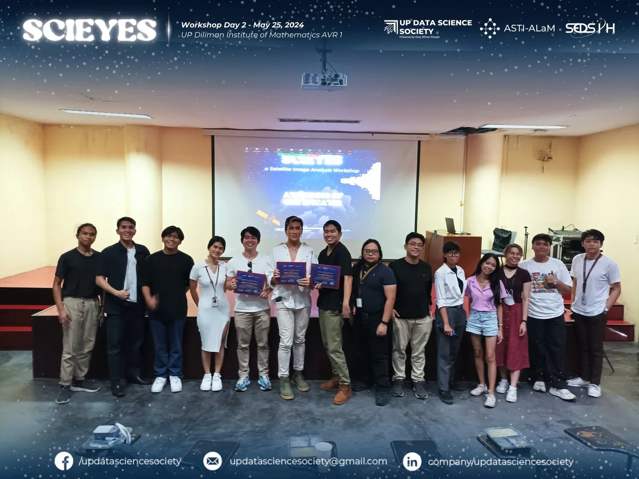
Day 1 consisted of lectures from the three speakers, after which participants formed teams to work on a geospatial analysis project. Day 2 was for presentations. On-site teams presented their projects to a panel of judges, while online participants submitted a one-page presentation and joined the online discussion. Lunch was served to on-site participants and guests on the second day.
Speakers
- Engr. Julius Noah H. Sempio, Senior AI engineer at the Automated Labeling Machine (ALaM) project of the Department of Science and Technology Advanced Science and Technology Institute (DOST-ASTI). He finished Geodetic Engineering and a master’s degree in Geomatics Engineering (Geoinformatics) at UP Diliman, and worked on the PHL-Microsat and STAMINA4Space Programs.
- Mr. Elmer C. Peramo, Senior Science Research Specialist at DOST-ASTI, with over 15 years of work in machine learning and artificial intelligence applied to weather forecasting, agriculture, natural language processing, and healthcare.
- Samuel Harrison P. Cerrudo, a Physics graduate of UP Baguio taking a master’s degree in Computer Science at UP Diliman. At DOST ASTI he works with PHIVOLCS on computer vision applications that detect geographical changes, land use and land cover, and infrastructure in satellite data.
Outputs
The society posted its recap on May 30, 2024. The final presentations applied computer vision to present-day problems. The panel that reviewed them was JC Albert Peralta, Rene Principe Jr., and Harlee Quizzagan. Partners and sponsors were Viscan Youth Mappers, Science Konek, Devbits, Data Engineering Pilipinas, CSU AGUS, BNHR (Ben Hur S. Pintor), and Alseo Earl Abraham. The recap photos also carry the ASTI-ALaM and SEDS PH logos.